Case study — Social-ecological systems & resilience
Water-Energy-Food Nexus Assessment in the Greater Mau Forest Complex, Kenya
How three decades of climate, land-use and livelihood change are reshaping one of East Africa’s most important water towers.
Project overview
A water tower under pressure
The Greater Mau Forest Complex (GMFC) is one of East Africa’s most critical social-ecological systems: an essential water tower, a biodiversity hotspot, and a livelihood anchor for nearly five million people. It faces intensifying pressures from climate variability, land-use change, population growth and fragmented governance.
This Water-Energy-Food (WEF) nexus assessment set out to understand how these pressures interact, and to generate actionable evidence for resilience planning in a landscape where data are scarce.
1990–2021
Three decades analysed
~5 million
People who depend on the GMFC
3 sectors
Water, energy and food, assessed together
Approach
An integrated geospatial and mixed-methods framework
Remote sensing analytics
CHIRPS precipitation data, MODIS EVI vegetation indices, and multi-decadal trend analysis.
Trend and anomaly analysis
Mann-Kendall and Sen’s slope trend detection, anomaly mapping, and assessment of spatial variability.
Field-based insights
Key informant interviews with county and national experts on lived realities, governance challenges and WEF priorities.
Key findings
Reinforcing pressures across water, energy and food
The analysis revealed pressures that reinforce one another, destabilizing the WEF nexus and heightening community vulnerability.
Water
Longer dry spells, more erratic rainfall
The GMFC gained an average of ~13 extreme dry days over 32 years, with marked differences between forest, cropland and grassland zones.
Water · Food
Less predictable growing seasons
Shifts in rainfall onset and frequency disrupted planting cycles, making the long rains, which support most maize production, less reliable.
Food
Declining crop productivity
Vegetation browning and falling maize yields point to growing stress on food systems, especially in rain-fed farming zones.
Energy · Forest
Rising dependence on bioenergy
As crop productivity and water reliability declined, households relied more on charcoal and firewood, adding pressure on the forest itself.
From the field
The Greater Mau landscape
Photos from the Greater Mau landscape, June 2022.
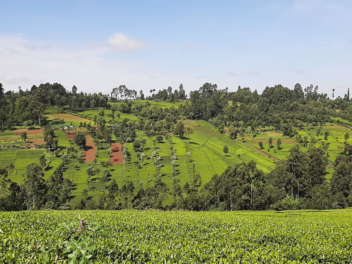
Tea in the foreground, with small farm plots and trees on the hillside beyond.
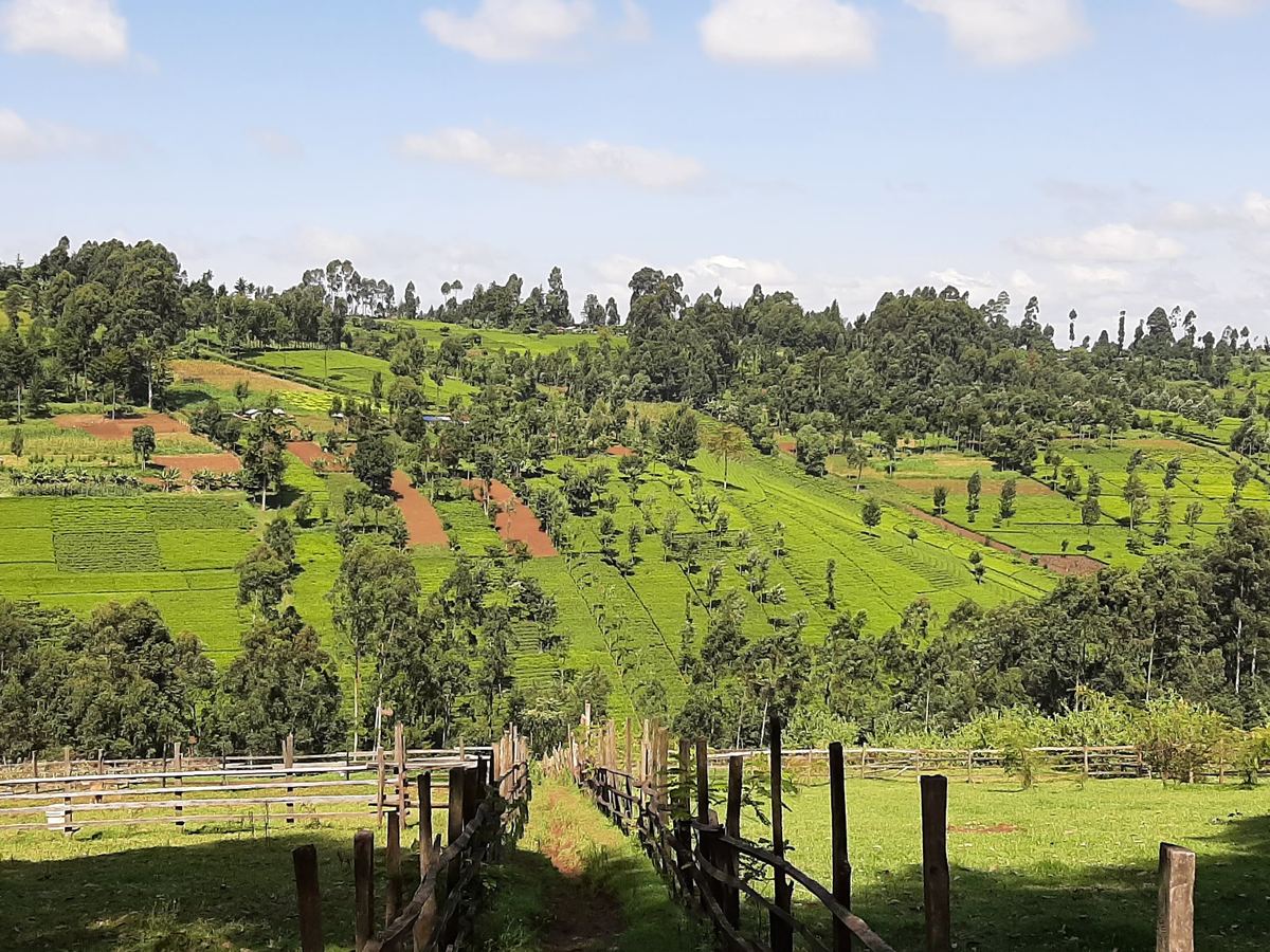
Small cultivated plots and scattered trees on a hillside, above a fenced pasture.
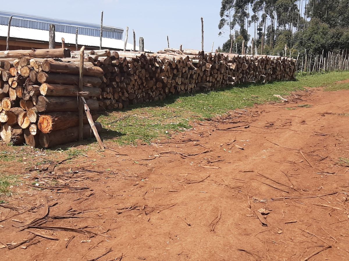
Stacks of cut logs beside a farm road.
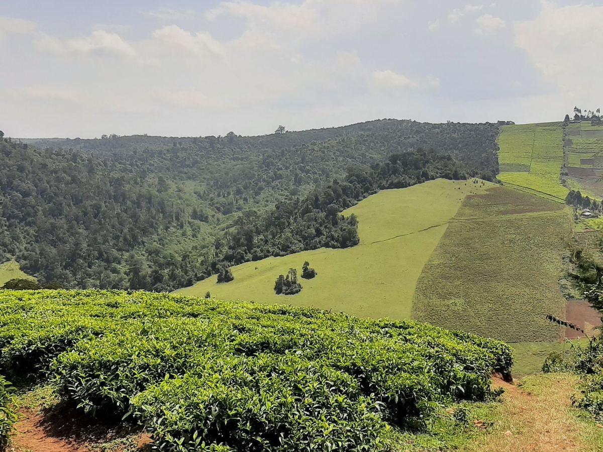
Tea fields in the foreground, with forest and farmland across the valley.
Facing similar pressures in your landscape?
Tell us the policy or planning question you’re facing, and let us discuss which layers apply.
Social-ecological data integration
Historical crop yields, population-scaled energy consumption, and qualitative observations from communities.