Beyond Estimates: Rigorous Landscape Intelligence.
We bridge the gap between ecological claims and verifiable reality. Using satellite data, advanced modeling, and local social-ecological insights, we provide donors, developers, investors, land managers and governments across the region, with the definitive, audit-ready proof needed to secure and sustain your land-use investments.
Services
Six layers of analysis, stacked around one landscape.
Each service reads like a layer in a GIS project — independently useful, and stronger together. Pick one, or let us build the full stack for a project.
LAYER 01
Digital MRV & Carbon Verification
High-integrity, audit-ready carbon intelligence that you can bank on.
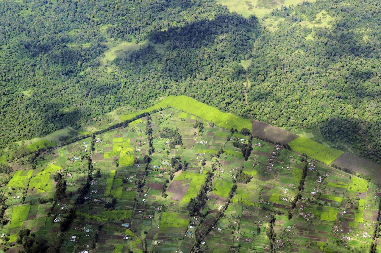
We provide independent, satellite-grounded measurement-reporting-verification (MRV) pipelines designed to meet the strictest registry standards. By integrating precise biomass estimation, biodiversity co-benefit monitoring, automated land-cover change detection, and longitudinal monitoring, we create a transparent data trail that transforms project performance into reliable, investable assets.
Whether you are developing a new project or vetting a portfolio, our rigorous verification ensures your credits withstand third-party scrutiny and satisfy the most demanding due diligence.
Our MRV capabilities include:
- Biomass & carbon stock quantification (satellite + spaceborne lidar fusion)
- Biodiversity co-benefit monitoring (spectral & structural diversity indices, aligned with CCB/Gold Standard safeguards)
- Land-cover change detection & longitudinal monitoring
- Registry-ready reporting & third-party verification support
LAYER 02
Land-Use & Land-Cover Change Modeling
Co-designing the future of your landscape.
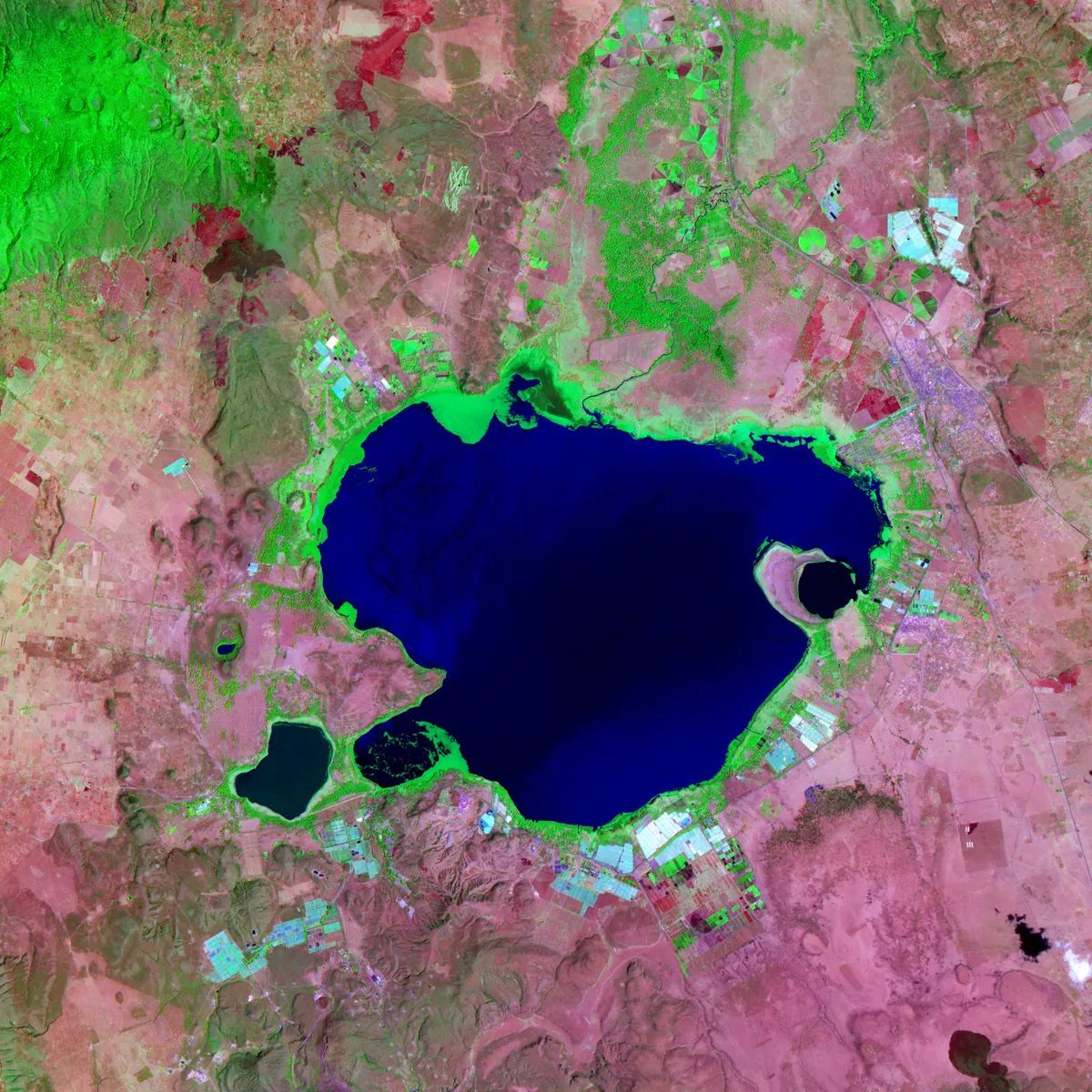
Static maps don’t capture the pulse of a changing region. We provide dynamic, community-guided scenario modeling that integrates local values and future needs into every projection. From mitigating agricultural sprawl to managing urban growth, we help you build land-use strategies that align conservation goals with sustainable community development.
Our approaches are precision-engineered for spatial planning, regulatory compliance, and high-impact donor reporting.
LAYER 03
Landscape Connectivity & Conservation Planning
Bridging the gap between ecological integrity and human prosperity.
We specialize in mapping and modeling the complexities of fragmented landscapes to create actionable conservation strategies. Our work goes beyond static mapping, utilizing cutting-edge simulation to show where conservation investments and community-led agreements will actually hold, not just where a map says they should.
Our Core Focus Areas:
- Connectivity & corridor design
- Proactive human-wildlife conflict modeling
- Integrated well-being assessments
- Effectiveness & impact analysis
LAYER 04
LAYER 05
Technical Consulting & Capacity Building
Translating complex spatial data into actionable, team-led expertise.
We provide the analytical heavy lifting, from advanced statistical modeling to custom R and Python workflows, so your team can move faster and smarter. More than just a service provider, we build internal capacity through hands-on workshops and deep-dive consulting, empowering your staff to manage complex environmental challenges long after our engagement ends.

LAYER 06
Data Services & Decision Support
Reliable data, ready for analysis and decisions.
Good decisions start with good data. We design and run surveys, digitize maps and records, and deliver clean, analysis-ready datasets your team can use straight away. Where you need more than data, we build analysis tools and decision-support frameworks that turn those datasets into clear, repeatable answers.
Our data services include:
- Survey design and data collection
- Digitization of maps and records
- Analysis-ready datasets
- Analysis tools
- Decision-support frameworks
Our approach
The Foundation of Integrity
Every service we provide is anchored in three non-negotiable technical pillars:
A
Field-Grounded Data Fusion
We go beyond remote sensing pixels by integrating high-fidelity ground truth data including field plots, transects, and bioacoustic monitoring to calibrate our models. This multi-source data fusion ensures our spatial projections reflect actual on-the-ground ecological conditions.
B
We integrate social science with spatial analysis to capture the human dimensions of land management. By embedding local governance frameworks and communal knowledge directly into our modeling engines (e.g., Agent-Based Models), we ensure our assessments are socially sustainable and operationally viable.
C
Registry-Ready Reproducibility
Our workflows are built for auditability. We utilize open-science standards to ensure every output meets the strict requirements of carbon registries and institutional auditors. By prioritizing documentation and transparency from the start, we eliminate the need for costly rework during final verification.
Sectors
Who we build these layers for
Carbon & Conservation Finance
Government & County Planning
Multilaterals & Bilateral Donors
Research Institutions
Agriculture & Insurance
Have a landscape that needs a closer look?
Tell us what you’re trying to prove, protect, or plan for. We’ll tell you which layers apply.
Social-Ecological Systems & Resilience Assessment
Where land, climate, and community governance converge.
Effective conservation requires more than satellite imagery; it requires understanding the governance systems that sustain the land. We pair spatial data with social science to model resilience, assess land governance, and evaluate community-based natural resource management.
By projecting the impacts of interventions before they occur and auditing their performance after implementation, we provide the integrated intelligence necessary to turn conservation goals into lasting, on-the-ground resilience.
Our specialized assessments include: