ArdhiLytics: Geospatial Intelligence
Know the landscape Anticipate change Decide with confidence
We transform complex spatial and environmental data into practical insights that support planning, conservation, development, and resource management.
Who we are
We turn landscape data into trusted intelligence for sustainable futures.
ArdhiLytics
ArdhiLytics is a science-driven spatial analytics and environmental intelligence firm.
We transform complex landscape data into actionable evidence that helps governments, conservation organizations, investors, project developers, and communities make confident decisions. By integrating satellite observation, advanced spatial modeling, field-based data, and social-ecological insights, we deliver audit-ready intelligence that connects environmental outcomes with real-world impact.
Built on a foundation of scientific rigor, transparency, and local relevance, we work at the intersection of conservation, climate, and sustainable development. Our expertise spans carbon measurement and verification, land-use change modeling, landscape ecology, resilience assessment, and evidence-based planning. We bridge spatial and social science, combining ecological data, community knowledge, and governance dynamics to provide a complete understanding of how landscapes function and change over time.
From project design and baseline assessments to monitoring, verification, and impact evaluation, we help our partners move beyond assumptions and make decisions backed by credible, measurable evidence.
What we do
Six layers of analysis. One landscape.
From carbon verification to data and decision support, each layer stands alone, or stacks into a full landscape assessment
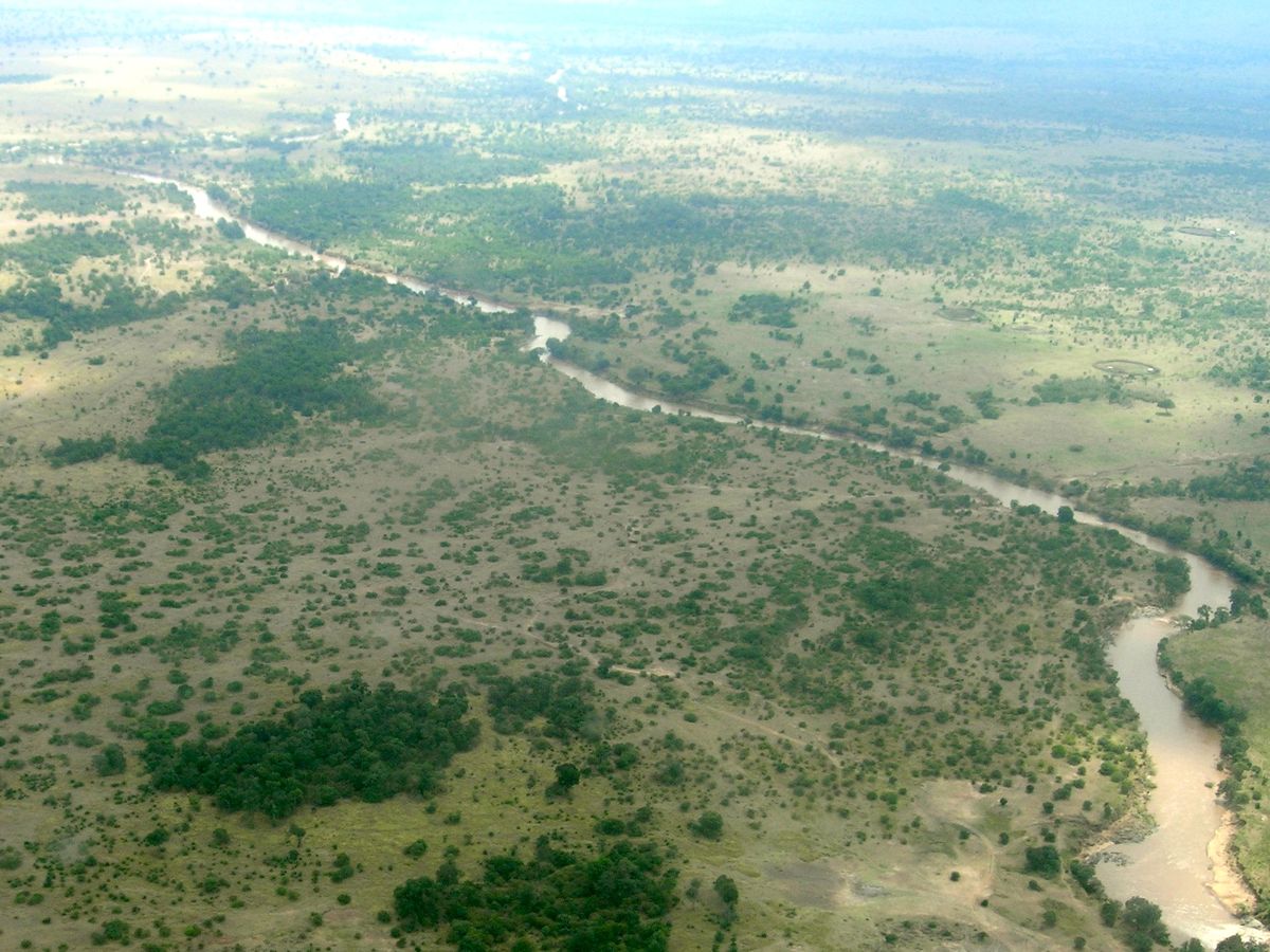
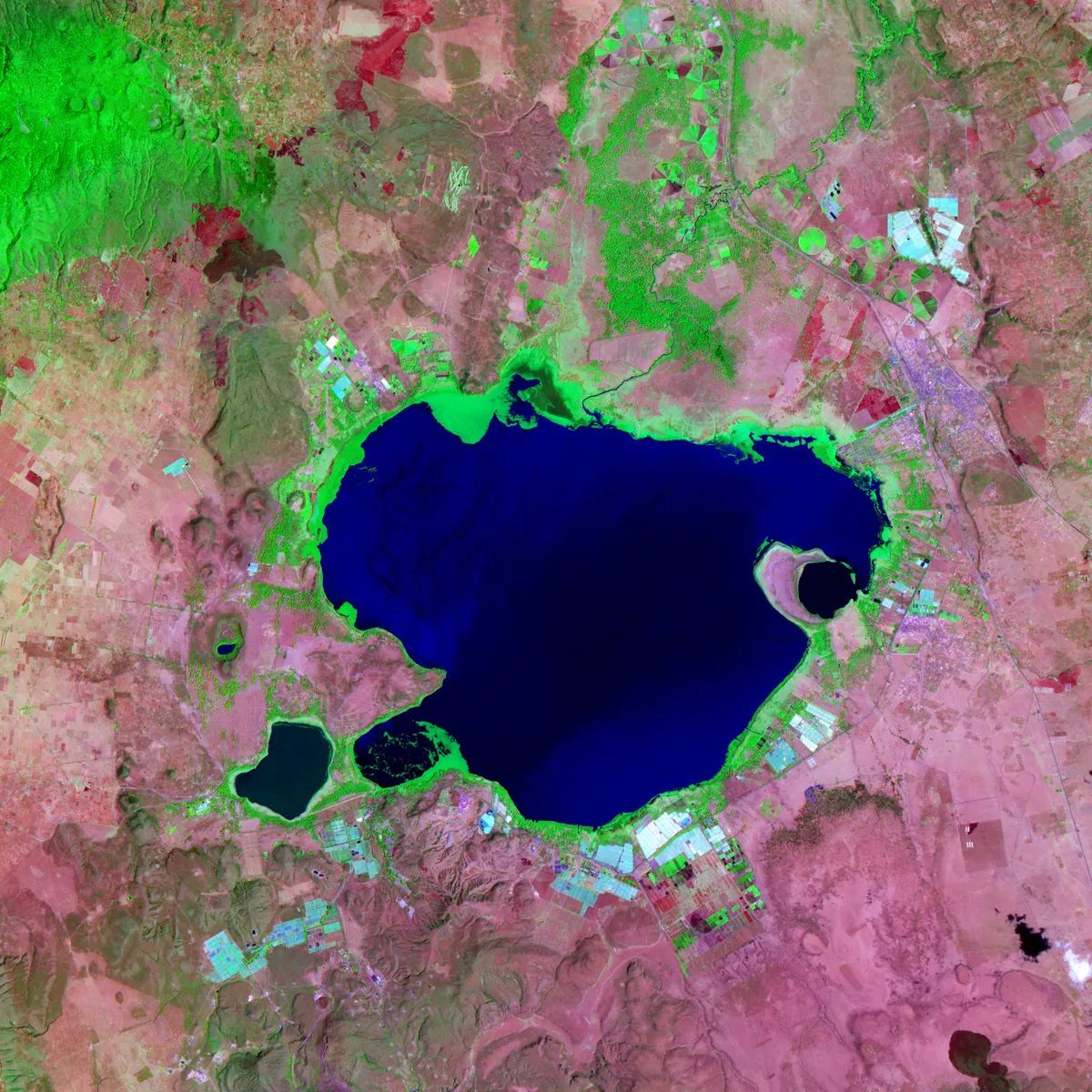

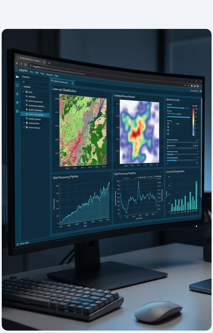
Our Core Logic
At ArdhiLytics, we recognize that environmental challenges are never purely ecological, they are inextricably linked to social, economic, and governance dynamics. True sustainability emerges only when rigorous science is grounded in the realities of the communities who live, work, and depend on the land.
By fusing spatial analytics, ecological modeling, and community-informed social-ecological systems thinking, we design interventions that are not just environmentally effective, but socially viable, locally supported, and built to endure.
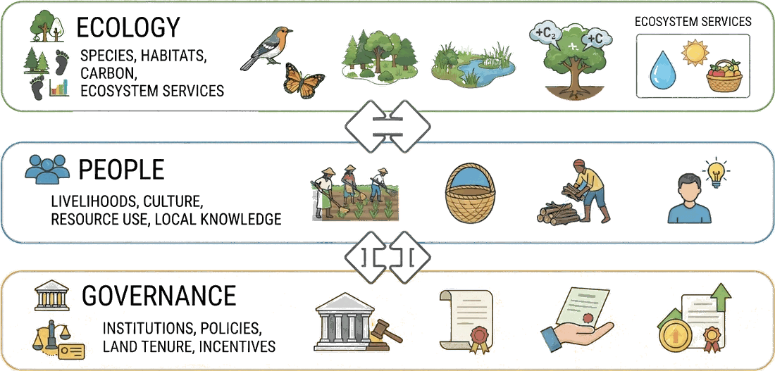
We map the intersection where these three dimensions meet:
Ecology
We quantify species presence, habitat quality, carbon storage, and critical ecosystem services.
People
We account for livelihoods, cultural values, resource dependency, and the wealth of local knowledge that shapes landscape use.
Governance
We analyze the institutions, policies, land tenure systems, and economic incentives that dictate how land is managed and protected.
Community impact
Empowering people, institutions, and communities.
At ArdhiLytics, we believe that scientific knowledge creates the greatest impact when it is shared, accessible, and actionable. As part of our commitment to environmental stewardship and community service, we actively support conservation practitioners, local institutions, and the broader public through training, open environmental data, and rapid-response decision support tools.
Capacity building
Conservation professionals
We provide practical training, workshops, and mentorship in GIS, remote sensing, environmental monitoring, spatial modeling, and social-ecological assessment — strengthening local expertise so practitioners can make evidence-based conservation and land management decisions.
Open data
Knowledge access
Access to reliable environmental information is essential for informed decision-making. We work to make environmental data, maps, indicators, and analytical tools publicly accessible, helping researchers, communities, NGOs, and policymakers understand and manage their landscapes.
Rapid response
Disaster intelligence
When environmental emergencies occur, timely information can save lives, livelihoods, and ecosystems. We develop and deploy rapid-response mapping and monitoring tools supporting preparedness, impact assessment, and recovery for floods, droughts, wildfires, and land degradation.
Have a landscape that needs a closer look?
Tell us what you’re trying to prove, protect, or plan for. Let us discuss which layers apply.
Social-Ecological Systems & Resilience Assessment
Where land, climate, and community governance converge.
Learn more